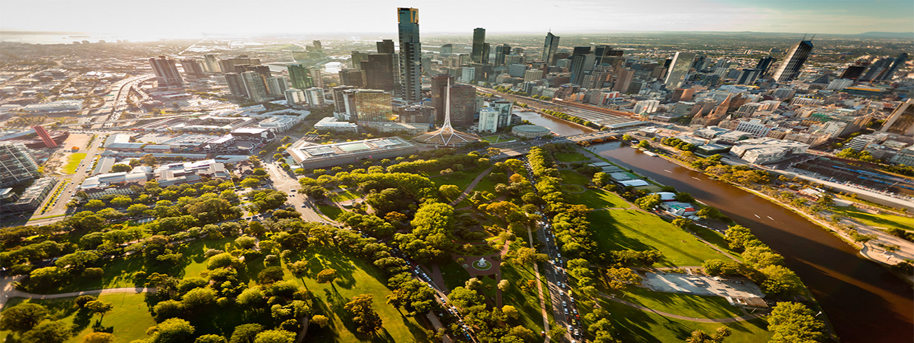
AU21 Master of Geospatial Science RMIT University
-
THÔNG TIN CHUNG
Geospatial scientists are experts in using spatial analytics to make sense of big spatial data captured from the latest sensor technologies.
A Master of Geospatial Science will prepare you for leadership roles in this field, building your understanding of spatial analytics and big spatial data for making critical decisions about our built and natural environment. You'll gain professional-level expertise in the analysis, management, capture and visualisation of spatial information, and become proficient in the latest technologies and infrastructures to support these skills.
Through this course you will develop a unique breadth of expertise across geospatial science, including:
- knowledge of fundamental spatial information technologies, including geographic information systems (GIS), geospatial programming, spatial databases, and cloud and mobile geospatial computing.
- advanced skills in mapping and visualisation for creating engaging and interactive geospatial presentations.
- knowledge of the latest spatial data capture systems, including satellite remote sensing, GPS satellite positioning, drone and aerial imagery, wearable sensors, sensor networks, and crowdsourced data.
- specialised knowledge in key areas that complement geospatial science, and tailored to your specific needs, which may include environmental science, natural resource management, computer science, business and project management, architecture and urban planning, mathematics or statistics.
-
CƠ HỘI NGHỀ NGHIỆP
Career Outcomes
Graduates are well-equipped to take on advanced roles within the spatial sciences in an industry, government or research context.
These skills are in high demand both nationally and internationally across a wide range of industries and the government sector including:
- environment and natural resources, such as environmental impact assessments, environmental monitoring, and agriculture and forestry
- land development, such as land use planning, geodesign, spatial data infrastructures, and sustainable development
- mining and exploration, including mineral exploration and environmental engineering
- facilities management and construction, including site selection, insurance and logistics
- transportation and utilities, such as water demand modelling, transport planning, mapping and navigation, and intelligent transportation
- governance and policy, including urban planning, e-government and community mapping
- emergency and disaster management, such as bushfire mapping, flood awareness, biosecurity, evacuation and emergency response
- data analytics and ICT, including mobile and wearable computing, web-mapping, cloud computing, and information visualisation.
Geospatial Science graduates can choose from diverse career opportunities in many sectors including tourism, environmental management, surveying and property development, building and construction, land management, software development and marketing and sales.
Geospatial science careers often provide career flexibility, opportunities to work overseas and great earning potential.
Professional recognition and accreditation
Graduates are eligible for admission to the Surveying and Spatial Sciences Institute of Australia (SSSI).
Graduates are also be eligible for membership of the Mapping Sciences Institute of Australia (MSIA).
- ĐIỀU KIỆN ĐẦU VÀO
- ĐIỀU KIỆN NGÔN NGỮ
- HỌC BỔNG
- ĐỊA ĐIỂM
Tóm tắt
-
Phí ghi danh
0
-
Độ dài khoá học
2 năm
-
Kỳ nhập học
Tháng 2
Tháng 7
Phí Cơ Bản
-
Loại Tiền
-
Học Phí
Trên năm -
Phí Sinh Hoạt
Trên năm -
Tổng